|
Sri Lanka Projects ->
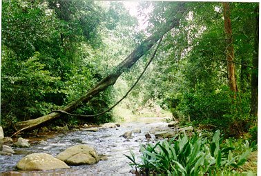
River Basin, Mahaweli ->
Project Description
Project Description
Project Summary
Timeline
> NRMS
Project Slides
Maproom
Reports/Links
Natural Resources Management Services
(of the Mahaweli Authority of Sri Lanka)
About NRMS
Recent Assignments
Contact details
NATURAL
RESOURCES MANAGEMENT SERVICES (NRMS)
is a wing of the Environment & Forest
Conservation Division (EFCD) of the Mahaweli Authority of Sri Lanka (MASL).
The Mahaweli Authority of Sri Lanka is a government
entity that is responsible for the management of the Mahaweli and Walawe river
basins and related smaller river basins fed by transbasin irrigation from
these rivers. By incorporation as NRMS, we have consolidated
more than 10 years of practical experience, gained under the MASL. Our well experienced Digital /
Manual Cartographers, GIS and Remote Sensing Professionals, Land Use Planners,
GPS Surveyors, Hydrologists, Soil and Water Conservation experts are the
leaders in their fields in Sri Lanka.Our, ever expanding
clientele base includes, WB, ADB, JICA, DFID, GTZ and many other donor funded
projects, line departments and local and foreign based private sector companies.
The Board of Governors
of the Natural Resources Management Services comprises
- Prof. C. M. Madduma Bandara,
Senior Prof. of Geography, University of Peradeniya (Chairman)
- Prof. S.W. Kotagama,
Professor of Zoology, University of Colombo
- Mr. S.B. Sumithraaratchy,
Ex-Director of the National Botanical Gardens, Peradeniya.
The NRMS offers a wide
range of services such as:
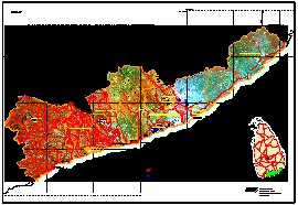
- Creating natural resource inventories and maps
- Geographic Information Systems (GIS) assisted data base development
- Development of management information system for tea estates
- Orthophoto development / photo maps
- Remote sensing
- Global Positioning System (GPS)
- Biological and mechanical soil conservation
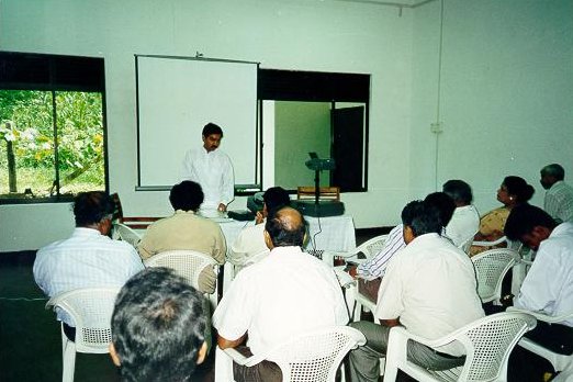
- Training on natural resource management
- Sediment and water yield measurements
- Biodiversity surveys
- Environmental education and training.
We also give advice, train, educate and provide
technical guidance on land resource assessment and land use planning,
soil conservation and sustainable farming etc
Back
Top
Recent jobs/assignments:
- Spatial Database Development for tea estates
- Funded by: Council for Agricultural Research Policy (CARP)
- Local client: Tea Research Institute (TRI)
- Content: Estate boundary maps, field boundary maps, landuse maps, soil maps, yield data and detailed maps.
- Establishment of seedling reference collection/Remote sensing/GIS/GPS consultancy
- Funded by: DFID,UK (former ODA)
- Local client : Participatory Forest Management Project - Matara
- Content: Seedling reference collection, time series of forest cover changes
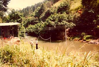
- Hydrological Monitoring programme in the upper watershed
- Funded by: ADB
- Local client: Upper Watershed Management Project (UWMP), Ministry of Environment and Forestry
- Content: Install and maintain automatic weather stations, sediment yield monitoring, automatic sediment sampling.
- Reconnaissance survey of land use/land tenure in Hambantota District
- Funded by: DFID, UK
- Local client: BHC, Colombo
- Content: Report on Land use/tenure and biodiversity, land use and land tenure maps.
Back
Top
Contact details:
Manager, NRMS,
EFCD Building,
Dam Site, Polgolla,
Kandy,
Sri Lanka.
Tel/Fax: + 94 8 499727
email: endvefcd@slt.lk
Back
Top
|
