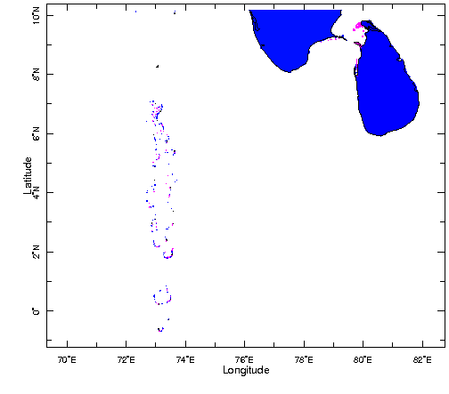
Regional Map showing the Southern tip of India and Maldives Islands to the East and Sri Lanka to the West. The Maldivian region is shown in detail in the map to the right.
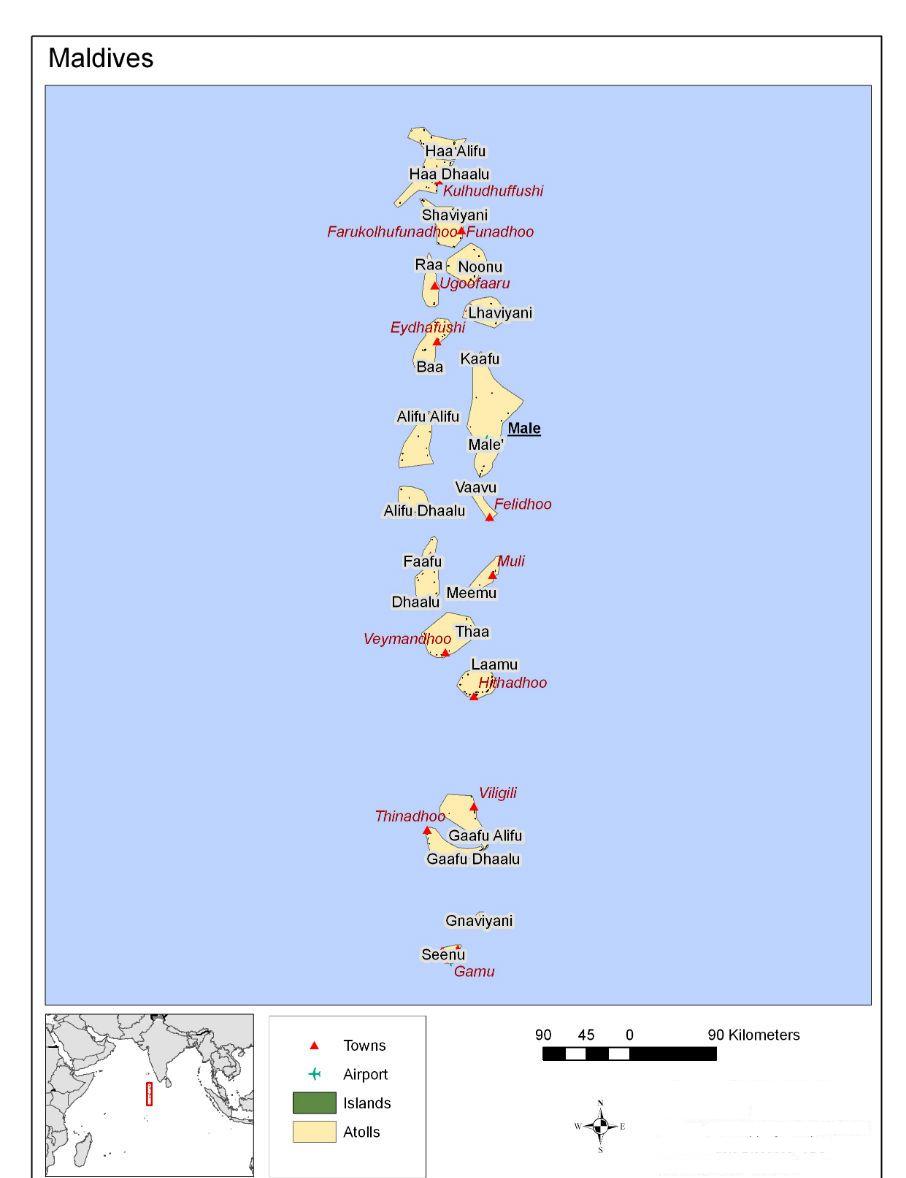
The Maldives comprises 1192 islands located along a North-South transect at 73 E longitude that spans 0.5S to 7 N. 199 islands are inhabited. The islands are small with only 33 exceeding a square kilometer in area and 3 exceeding 4 square kilometers. Other islands along this undersea mountain ridge include the Lakshadweep islands of India to the North and the Chagos Islands to the South. The analysis of rainfall along this transect is important as it provides insight into the Asian monsoon and the climate of the tropical Indian Ocean that complement studies over India and Sri Lanka. Rainfall in Maldives is year-round and its study complements that of the Indian summer monsoon rainfall that extends from June to September. The climate is important to the Maldives, a small island developing state, as it directly affects the principal sectors of livelihood, food supply such as tourism, fisheries, agriculture and water resources. The population of 330,000 is also vulnerable to hydro-meteorological disasters and weather related diseases such as dengue - the vulnerability is accentuated because of difficulties in transport and access from remote islands to more populated islands.
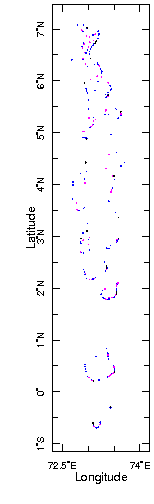
Location Map of Maldives
|
|
|
Atolls Map of Maldives